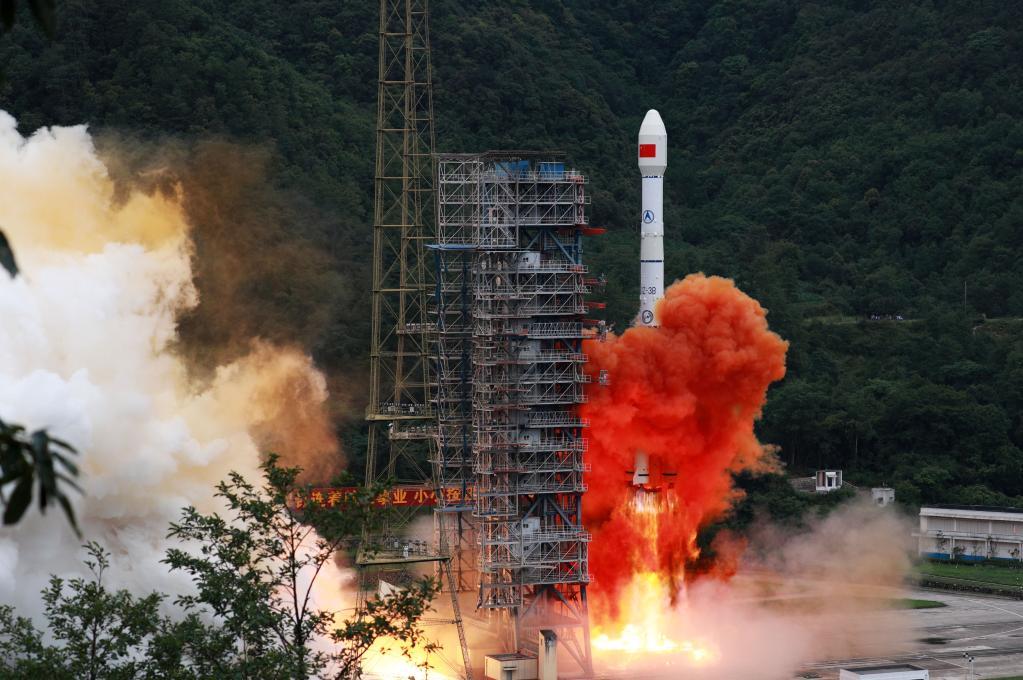


A carrier rocket carrying the last satellite of the BeiDou Navigation Satellite System (BDS) blasts off from the Xichang Satellite Launch Center in southwest China's Sichuan Province, June 23, 2020. (Photo by Hu Xujie/Xinhua)
BEIJING, Jan. 28 (Xinhua) -- China will continue to improve its space infrastructure, and integrate remote-sensing, communications, navigation, and positioning satellite technologies in the next five years, according to a white paper released on Friday.
The white paper, titled "China's Space Program: A 2021 Perspective", was issued by the State Council Information Office of China.
According to the paper, China will upgrade its spatial information services featuring extensive connection, precise timing and positioning, and all dimension sensoring.
China will develop satellites for geostationary microwave monitoring, new-type ocean color observation, carbon monitoring of the territorial ecosystem, and atmospheric environmental monitoring, the paper said.
The country will also develop dual-antenna X-band interferometric synthetic aperture radar (InSAR), land water resources and other satellite technology, for efficient, comprehensive Earth observation and data acquisition across the globe, it said.
China will build a satellite communications network with high and low orbit coordination, test new communications satellites for commercial application, and build a second-generation data relay satellite system, it said.
The country will study and research navigation-communications integration, low-orbit augmentation and other key technologies for the next-generation BeiDou Navigation Satellite System, and develop a more extensive, more integrated and smarter national positioning, navigation and timing system, it said.
The country will continue to improve the ground systems for remote-sensing, communications and navigation satellites, the paper said.
 A single purchase