Hainan Business Environment & Assessment Report (2015)
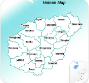
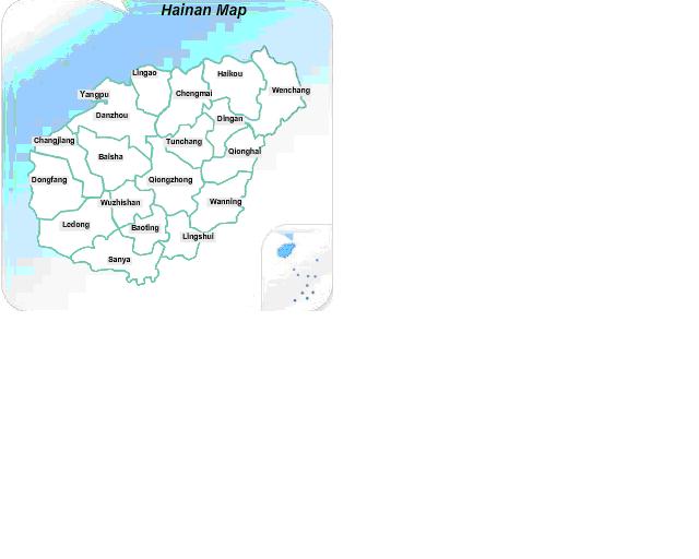
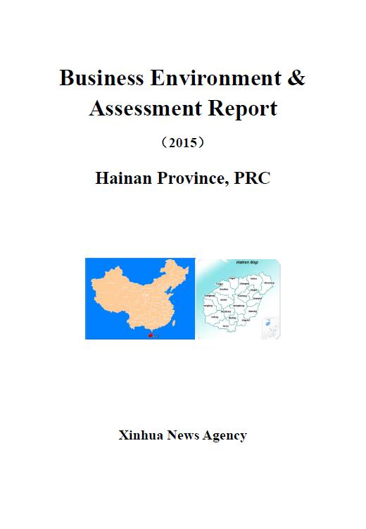
Situated at the southernmost tip of China, Hainan overlooks Guangdong across the Qiongzhou Strait to the north, Vietnam across the Beibu Bay to the west. Its neighbors in the South China Sea include the Philippines, Brunei and Malaysia. The jurisdiction of Hainan covers Hainan Island, the Xisha (Paracel) Islands, the Zhongsha (Macclesfield) Islands and the Nansha (Spratly) Islands as well as the surrounding maritime areas. The island covers a land area of 35.4 thousand square kilometers and has a maritime area of about 2 million square kilometers. Hainan Island is located in 18°10′-20°10′N and 108°37′-111°03′E. With the outline like an oval snow pear, the island has a northeast-southwest direction long axis which is about 290km. Meanwhile the northwest-southeast width of Hainan Island is approximately 180km; therefore it is the second island in China only after Taiwan Island. The coastline around the island is 1,528km with 68 harbors surrounded. There is an area of 2,330.55 square kilometers for isobathic regions from -5m to -10m, corresponding to 6.8% of the land area. Qiongzhou Strait, located between Hainan Island and Leizhou Peninsula, is about 18-nautical-mile wide; while Zengmu Ansha in Nansha Islands is the southernmost territory of China.
The central Hainan Island is dome-mountain shape surrounded by lower flat land. With the Mt. Wuzhi and Yingge Hill as the core, the land declines gradually to the edges. Mountains, hills, tablelands and plains form the annular and laminar landform with obvious cascade terrain structure.
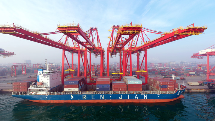
Hainan has three cities at the prefecture level, which are Haikou, Sanya and Sansha. The cities at the county level in Hainan include Wuzhishan, Wenchang, Qionghai, Wanning, Danzhou and Dongfang. Meanwhile, Hainan has four counties, including Ding’an, Tunchang, Chengmai and Lingao; and six autonomous Counties, including Baisha Li Autonomous County, Changjiang Li Autonomous County, Ledong Li Autonomous County, Lingshui Li Autonomous County, Baoting Li and Miao Autonomous County and Qiongzhong Li and Miao Autonomous County. Besides, Hainan hosts the Yangpu Economic Development Zone.
June30,2016