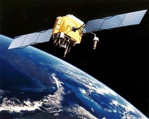


BEIJING, Dec. 28 (Xinhua) -- China has handed over control of Ziyuan III 02, a new civilian high-resolution mapping satellite, to its user.
Control of the satellite was passed to its main user, the National Administration of Surveying, Mapping and Geoinformation (NASG), on Monday, after it had been in orbit for more than 200 days since it was launched on May 30 from the Taiyuan Satellite Launch Center.
It will be used mainly for collecting 3D mapping information within Chinese territory.
The satellite will join its predecessor Ziyuan III 01, a research satellite launched in January 2012, to capture high-definition 3D images, said NASG deputy director Li Pengde.
Together, the two Ziyuan III satellites boast a "revisit time," the time elapsed between observations of the same point on Earth, of around three days, down from five days when Ziyuan III 01 was operating alone, according to Li.
Their operation will double the efficiency of image formation and reduce the period of global coverage by half, Li said.
He said the two satellites could provide stable, high-resolution and high quality 3D image data for the country's surveying and mapping development.
"In terms of online map and navigation services, our real-time image services could enable companies, such as Map World, Amap, NavInfo and Baidu, to greatly reduce the update period, improve accuracy, and cut costs of their map data," said Sun Chengzhi, deputy head of the NASG Satellite Surveying and Mapping Application Center.
Li said the NASG began the approval process for Ziyuan III 03 and 04 in the second half of this year.
By 2020, China should have launched Ziyuan III 03 and a Gaofen-7 high-resolution remote sensing satellite. By 2025, the country plans to put Ziyuan III 04 and a second Gaofen-7 satellite into orbit.
 A single purchase